West Clayton,
walking distance.
Three schools inside a fifteen minute walk, parks on every side of the site, and the Surrey Langley SkyTrain taking shape along Fraser Highway. The map is drawn from the neighbourhood's real survey data, not a stylized sketch.
A neighbourhood that
already works.
 Clayton Crossing, five minutes on foot
Coffee, groceries
and a short walk
The shops at Clayton Crossing and along Fraser Highway cover the everyday: a proper coffee in the morning, groceries on the way home, a pharmacy and a barber you never have to drive to.
Somewhere to
eat nearby
Family restaurants, a pub with a patio and the kind of small independent kitchens that fill up on a Friday. Close enough that dinner out does not need a plan.


Parks on every side
Clayton Park's fields to the northeast, Provinceton's playground to the southwest, and greenbelt trails threading between them. The kind of green you use on a Tuesday, not just on a long weekend.
Clayton Elementary, Clayton Heights Secondary and Ecole Salish Secondary all sit within the neighbourhood, so the school run never needs the car.
Clayton Park's fields and courts to the northeast, Provinceton's playground to the southwest, and the greenbelt trails threading between them.
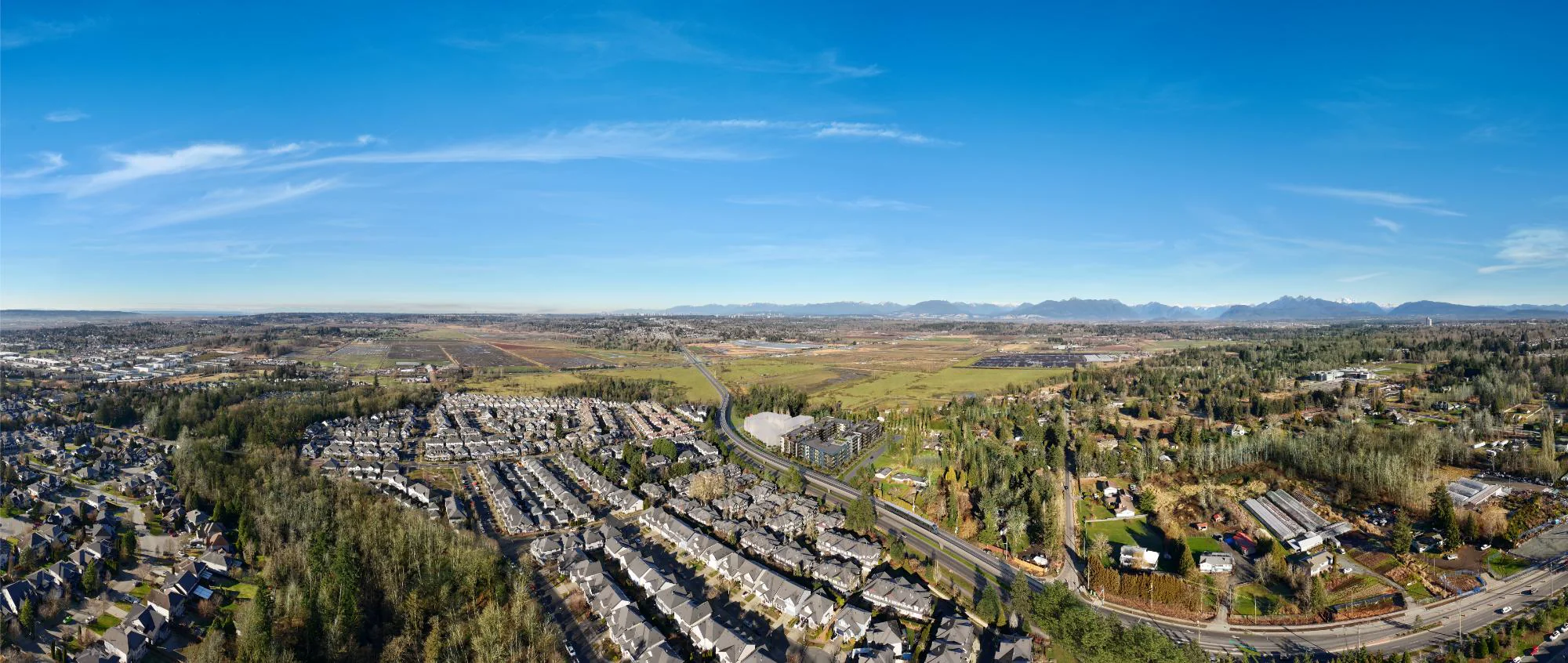
The Surrey Langley extension is being built along Fraser Highway now, with the 184 Street station a short ride from the front door. Buy before the line opens, not after.
Two buildings, six levels each, every plan drawn on its floorplate. Pick the floor, then the home.
→Be first
through the door.
- 01Plans and pricing before they are public
- 02A private preview at the presentation centre
- 03Your place in the line, kept in the order you arrived